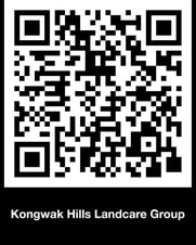
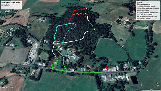
 Kongwak Hills Landcare Group (KHLG) have recently spent time, money and effort to improve the visitor experience to the Kongwak Pioneer Reserve, with assistance from Mick Green at Drift Media. The pre-existing Geotour experience was best enjoyed by downloading the Geotour application and following the prompts; however, in the six years it has been active it has only been downloaded 1,300 times. The app has now been upgraded so that the tour and all of its audio content can be enjoyed together with Google Earth maps of each track in the Reserve providing details of length/distance in metres and elevations with attached track profiles in graphical display. The new upgraded facility is easily accessed by using your phone, providing you have installed a QR code reader. (We used QRbot). Simply open your QR code app and use your phone to scan the QR code shown here. The QR code will take you directly to the Kongwak Hills page on the Bass Coast Landcare Network site. Scroll down until you come to the heading, Pioneer Reserve-Interactive Tour and Track Maps. From here you can download the Geotour, Google Earth maps and the Track Maps. Kongwak has a good data phone signal strength so it is now easy to download the interactive tour and maps and enjoy. In the near future, for ease of access, decals highlighting the QR code will be placed around the Reserve, in R.N.Scott Reserve Pavilion, on the information Board outside the old General Store and will be available in tourist and information outlets highlighting the QR code. |
MAKE a DONATIONBCLN E-News2023
2022
2021
2020
2019
News & Events Archives
June 2024
Categories
All
|






 RSS Feed
