Home
About Us
Our Network
Our Team
Our Board
Our Public Fund
Our Groups
Group Map
Phillip Island
French Island
Bass Valley
Three Creeks
Kongwak Hills
>
Kongwak Hills News and Events
Powlett Project
Korumburra
Anderson Inlet
Wonthaggi Urban
Gippsland Threatened Species Action Group
Our Programs
Sustainable Living
>
2023 Sustainability Festival
>
Festival Stall Application
Future Homes and Farms for 2040
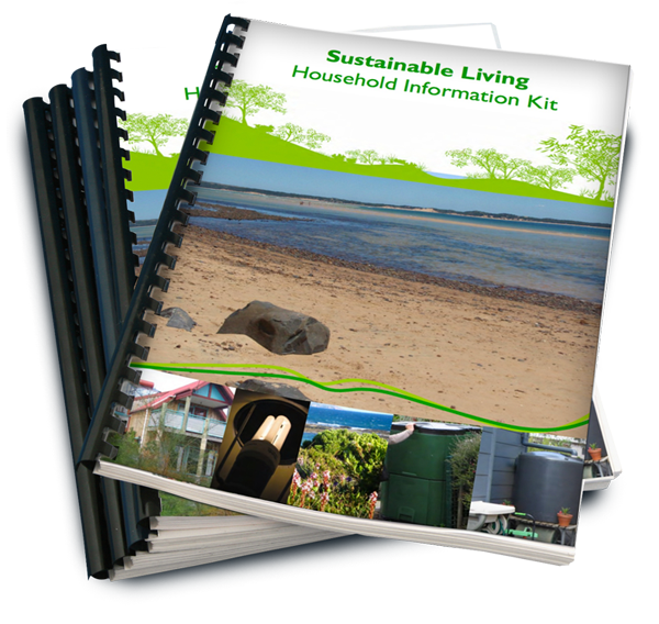
Sustainable Living Kit
Available Anytime - Sustainability Resources
Education
Training
Natural Resource Management
>
Past Projects
>
Ramsar Protection in Western Port
Sustainable Agriculture
>
Growing Southern Gippsland Videos
Regenerative Agriculture Videos
Rapid Soil Assessment Videos
Soils of Southern Gippsland Videos
Landscape Restoration
Enhanced Knowledge and Protection of the Giant Gippsland Earthworm Project
Natural Capital Accounting Videos
Works Crew
Controlling Weeds
Controlling Pest Animals
>
Controlling Rabbits
>
Teaming Up to Tackle Rabbits
Controlling Foxes
Controlling Cats
Controlling Deer
Controlling Pigs
Nursery Group
River Garden
Get Involved
Volunteer Opportunities
Become A Member
Arborists For Forests Initiative
Undertake Your Own Project
Sponsorship Opportunities
Employment
Make A Donation
Capturing Carbon
Women on Farms
News & Events
Resources
Case Studies
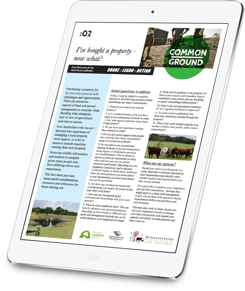
Fact Sheets
Network Documents
Videos
Podcasts
Indigenous Plants
Contact
Donate
Public Fund
Regular Giving
Leave a Legacy
Home
About Us
Our Network
Our Team
Our Board
Our Public Fund
Our Groups
Group Map
Phillip Island
French Island
Bass Valley
Three Creeks
Kongwak Hills
>
Kongwak Hills News and Events
Powlett Project
Korumburra
Anderson Inlet
Wonthaggi Urban
Gippsland Threatened Species Action Group
Our Programs
Sustainable Living
>
2023 Sustainability Festival
>
Festival Stall Application
Future Homes and Farms for 2040
Sustainable Living Kit
Available Anytime - Sustainability Resources
Education
Training
Natural Resource Management
>
Past Projects
>
Ramsar Protection in Western Port
Sustainable Agriculture
>
Growing Southern Gippsland Videos
Regenerative Agriculture Videos
Rapid Soil Assessment Videos
Soils of Southern Gippsland Videos
Landscape Restoration
Enhanced Knowledge and Protection of the Giant Gippsland Earthworm Project
Natural Capital Accounting Videos
Works Crew
Controlling Weeds
Controlling Pest Animals
>
Controlling Rabbits
>
Teaming Up to Tackle Rabbits
Controlling Foxes
Controlling Cats
Controlling Deer
Controlling Pigs
Nursery Group
River Garden
Get Involved
Volunteer Opportunities
Become A Member
Arborists For Forests Initiative
Undertake Your Own Project
Sponsorship Opportunities
Employment
Make A Donation
Capturing Carbon
Women on Farms
News & Events
Resources
Case Studies
Fact Sheets
Network Documents
Videos
Podcasts
Indigenous Plants
Contact
Donate
Public Fund
Regular Giving
Leave a Legacy


 RSS Feed